Singapore MRT – or Mass Rapid Transport – is a quick, affordable and particularly convenient way to get around to all corners of Singapore. Five lines connect over 100 stations across the island, with the Singapore MRT network connecting the airport on the East with downtown Singapore, the Central Business District, Orchard Road, Little India, Chinatown, Marina Bay, Bugis and Kampong Glam, as well as all the suburbs in the north and western districts of the country.
Single journeys on the Singapore MRT are available for around $1-2, although the most economical option is to purchase an ez-link card (S$12, with S$7 of balance and S$5 being a refundable deposit). The cost of your MRT trip will range from 60 cents to S$1.50, depending on how far you want to travel. You can top-up up to S$100 and take multiple trips via MRT and public bus until the value runs out.
With our extensive Singapore MRT guide, you can find out all of the major downtown areas in the city, as well as links to all the best things to do when you arrive.
MRT Map

Singapore MRT Map
photo by Aforl (CC BY-SA 3.0) modified
Chinatown
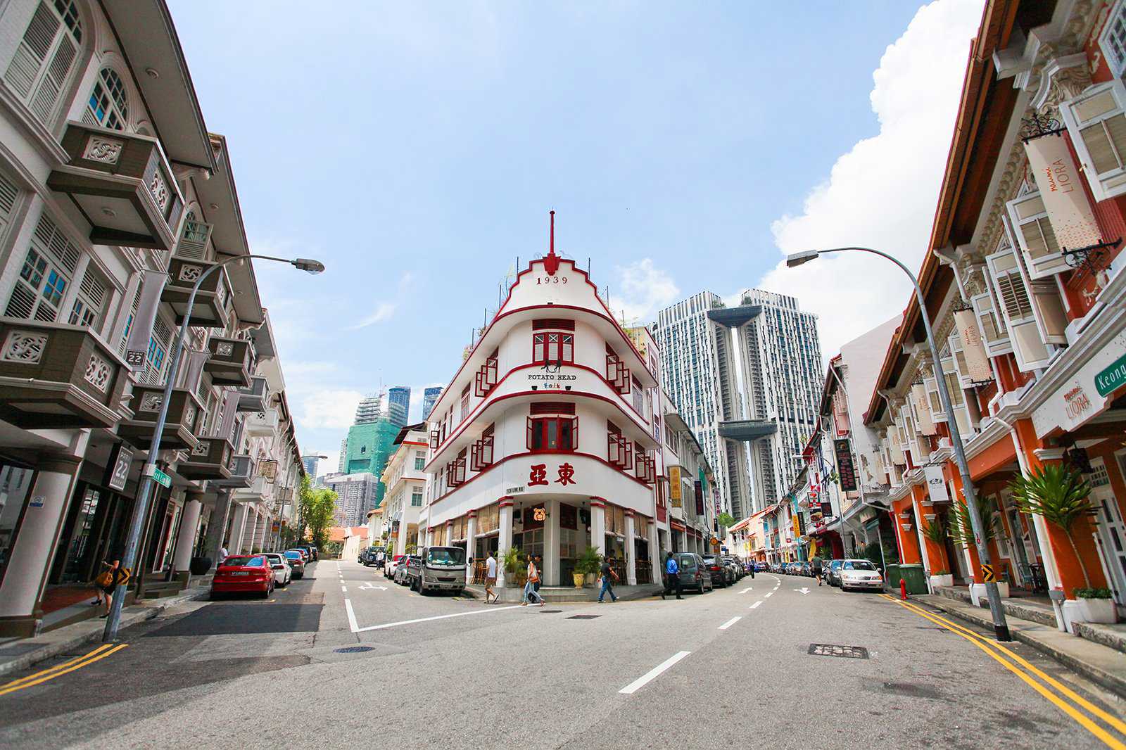
Chinatown MRT, Teylok Ayer MRT, Outram Park MRT, Tanjong Pagar MRT and Raffles Place MRT
The most central Singapore MRT station in this bustling and historic central neighbourhood is, of course, Chinatown MRT Station which is connected by both the North East Line (purple) and the Downtown Line (blue). However, the area is also accessible by alighting at Teylok Ayer, Outram Park, Tanjong Pagar and is a short walk away from Raffles Place MRT in the centre of Singapore’s Central Business District.
MapSee also
- 12 Best Night Spots in Chinatown

12 Best Night Spots in Chinatown
Singapore - Sentosa Golf Club

Sentosa Golf Club
Singapore - 7 Best Things to Do in Little India Singapore
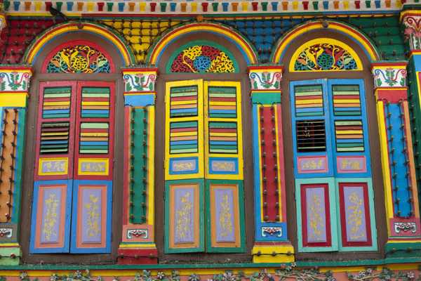
7 Best Things to Do in Little India Singapore
Singapore
Marina Bay

Raffles Place MRT, Downtown MRT, Bayfront MRT, Esplanade MRT and Promenade MRT
To access the Marina Bay area, there are several stops that you can use, depending on which part you want to visit. For Marina Bay Sands and The Gardens by the Bay complex, head to Bayfront MRT on the Circle Line and for the Singapore Flyer and Esplanade Theatre on the eastern edge of the bay, alight at either Promenade MRT or Esplanade MRT.
The mouth of the Singapore River, which features major attractions such as the Merlion and the Fullerton Hotel, can be accessed via a short walk from Raffles Place MRT.
MapCivic District

City Hall MRT and Esplanade MRT
Singapore’s historic Civic District, with its magnificent museums, art galleries, the exotic Fort Canning Park, the vibrant Chijmes leisure space and of course the iconic Raffles Hotel, can be all accessed via the major City Hall MRT which is situated on both the North South Line (red) and East West Line (green).
MapClarke Quay

Clarke Quay MRT
There really is only one way to access the city’s centre of nightlife via the Singapore MRT, and that’s by taking the underground train to the popular Clarke Quay MRT Station. The stop actually comes out at Clarke Quay Central shopping mall, and all the main bars, restaurants and clubs are just a short walk upriver from here.
MapOrchard Road

Orchard MRT, Somerset MRT, Dhoby Ghaut MRT
Orchard Road, the main shopping hub of the country, can be accessed via three main stops on the Singapore MRT network. Orchard MRT is at the most northerly point on the road, whilst Somerset MRT is at the centre. The area can also be accessed via Dhoby Ghaut MRT Station which connects with the East West Line (green), North South Line (red) and the North East Line (purple).
MapLittle India

Little India MRT, Farrer Park MRT
Singapore’s most popular ethnic enclave for the country’s thriving Indian and Tamil community can be best accessed via Little India Station MRT or Ferrar Park MRT station, both on the North East Line (purple).
Mapphoto by Alex Monckton (CC BY-SA 3.0) modified
Bugis and Kampong Glam

Bugis MRT
The best way to get to the Bugis and Kampong Glam area via the Singapore MRT is to head to the bustling Bugis MRT station, which is connected by both the East West Line (green) and the Downtown Line (blue). Singapore’s Arab enclave of Kampong Glam can also be found a short walk away from Nicoll Highway MRT, but the Bugis MRT station remains the most popular and convenient choice.
Mapphoto by Bahnfrend (CC BY-SA 4.0) modified
Sentosa Island

Harbourfront MRT
The best way to get to Sentosa Island using the Singapore MRT is to take the Circle Line (yellow) to Harbourfront MRT. This station comes out at the popular Vivo City Mall, and from there you must either transfer to the Sentosa Express which will take you across the water to the island. There is also a small walkway bridge which is free on the weekends or S$1 to use at all other times.
Mapphoto by Hajotthu (CC BY-SA 3.0) modified

This article includes opinions of the Go Guides editorial team. Hotels.com compensates authors for their writing appearing on this site; such compensation may include travel and other costs.
Start planning your trip
Where to stay in Singapore City

LEGOLAND Malaysia Resort
Mercure ICON Singapore City Centre
Carlton Hotel Singapore
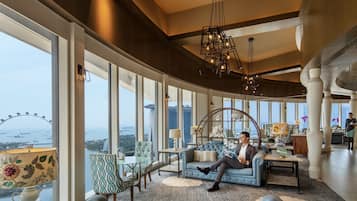
Pan Pacific Singapore
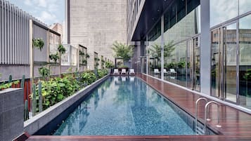
YOTEL Singapore Orchard Road
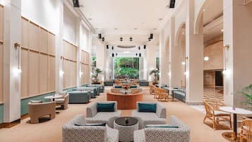
Furama RiverFront
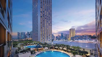
Swissotel The Stamford, Singapore
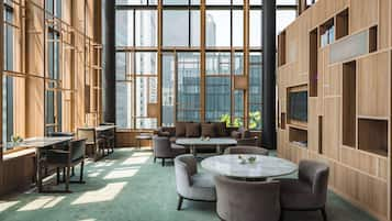
PARKROYAL COLLECTION Pickering, Singapore
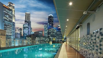
Capri By Fraser China Square, Singapore
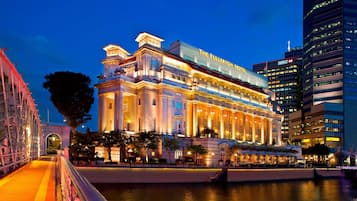
The Fullerton Hotel Singapore
Related stories
- 12 Best Night Spots in Chinatown

12 Best Night Spots in Chinatown
Singapore - Sentosa Golf Club

Sentosa Golf Club
Singapore - 7 Best Things to Do in Little India Singapore

7 Best Things to Do in Little India Singapore
Singapore - 5 Best Day Trips from Singapore

5 Best Day Trips from Singapore
Singapore - ArtScience Museum Singapore

ArtScience Museum Singapore
Singapore - Raffles Hotel and Museum

Raffles Hotel and Museum
Singapore - Central Catchment Nature Reserve

Central Catchment Nature Reserve
Singapore - 21 Best Temples in Singapore

21 Best Temples in Singapore
Singapore
